


20240402 La Londe

Childebert
User
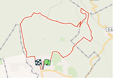

Length
11.7 km

Max alt
134 m

Uphill gradient
199 m
Km-Effort
14.3 km

Min alt
26 m

Downhill gradient
199 m
Boucle
Yes
Creation date :
2024-04-02 11:56:22.909
Updated on :
2024-04-03 10:17:26.37
3h15
Difficulty : Difficult

FREE GPS app for hiking
 SityTrail
IGN / Geographical institutes
SityTrail Plus
The world is yours!
About
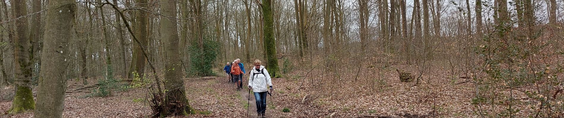
Trail Walking of 11.7 km to be discovered at Normandy, Seine-Maritime, La Londe. This trail is proposed by Childebert.
Photos

Positioning
Country:
France
Region :
Normandy
Department/Province :
Seine-Maritime
Municipality :
La Londe
Location:
Unknown
Start:(Dec)
Start:(UTM)
351199 ; 5463590 (31U) N.
Comments